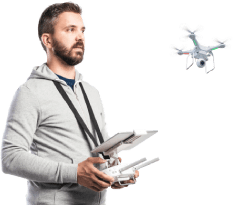
Get top-notch UAV-based surveillance and monitoring services with advanced applications and excellent technical assistance for enhancing the value of your farming or business.
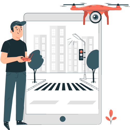
Precision and efficiency are paramount when it comes to gathering critical geographical data. Advancing drone technology makes this possible through an end-to-end solution. With the ability to capture high-resolution imagery and collect data from remote areas, our drone-based surveying and monitoring services provide businesses with unparalleled insights.


We assist government agencies, enterprises, and individuals with top-notch UAV-based surveying and mapping services that use applications like-

It is a dense collection of georeferenced points for various shapes and different surfaces. When the drone flies over the area of interest, it takes multiple images from different angles and the captured data is processed with the help of photogrammetry or LiDAR software to generate a 3D point cloud.

It is a representation of the elevation of a terrain surface. Aerial photography, topographic surveys, and LiDAR scans based on drones are useful in collecting elevation data to create DEMs. Drone surveillance systems use these models to plan and execute flight missions or to detect changes in the terrain.

Also known as a topographic model of the earth, DTM is a digital representation of the bare earth. It is created by removing all buildings, vegetation, and other DEM features from the image. This model is useful in flight planning, 3D modeling, and change detection in the drone surveillance system.

This line connects all the points of equal elevation. Contours can represent the topography of a specific area. Contour lines can generate DEMs and DTMs, thereby contributing to drone-based surveillance operations. Estimation of land steepness and study of water flow characteristics are two of its main uses.

It uses drone data to calculate the specific material’s volume that needs to be moved to create the necessary surface elevation. Here, images taken by drone are processed to make a 3D model of the terrain. Construction and mining industries are the biggest beneficiaries of this process.

3D modeling software, on-screen measurement tools, etc. are some of the popular length measurement tools for drone surveillance. Another noteworthy tool is Light Detection And Ranging (LiDAR) which uses laser light to measure the distance to different objects with high accuracy and clarity.

This tool is useful in calculating the size or dimensions of a specific area or object precisely. The area management tool can accurately measure the dimensions within the captured aerial imagery. It is particularly useful in land surveying, environmental monitoring, and disaster management.

This tool enables us to measure any objects or terrain captured by drones in three dimensions. Advanced photogrammetry techniques and geospatial data processing are other advanced techniques that can make the measurement more accurate in drone surveillance and monitoring.

A larger photo map or orthomosaic is 10 times more accurate than Google Maps. Drones can take many photos looking straight down from above, and when we combine these images together into a single screen, they become orthomosaic. It is useful for getting insight of a vast area and measuring the distance.


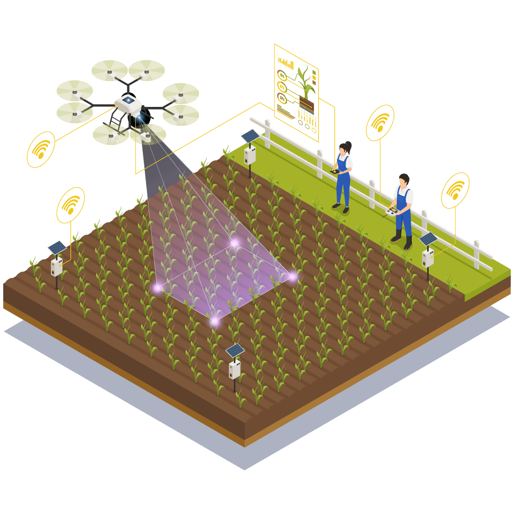
The role of the agriculture sector is crucial for ensuring the growth of any region or country. Our state-of-the-art digital infrastructure and expertise in UAV technology can enable farmers to gain valuable insights in real-time. They can optimize resources and know the situation of crops from far away areas to make data-driven decisions using our custom IT solutions.


We offer cost-effective and tested agriculture services to harness the power of drone technology. Some of the key applications for drone-based agricultural solutions are-

It is a useful tool for reaching inaccessible areas and works 40 times faster than manual labour. It offers a larger reach in a short time with uniform spraying. It is useful for farm spraying, locust control, and mosquito spraying without having harmful side effects on manual labour.

This application can help farmers and agricultural professionals use drone-based data to survey their land. It has various tools for drone flight planning, image processing, and exporting data. These tools are useful to make up-to-date maps of farmland and identify areas of crop disease.

It is one of the most important applications for agricultural services based on drones. It has multispectral cameras, RGB cameras, and hyperspectral cameras to analyze crop health and make accurate reports. Farmers can use them to identify areas of crop stress or disease.

This application can count the entire field instantly by combining computer vision and AI. It can give detailed analysis and reduce operational costs for farmers. We also offer a detailed plant population analysis for enhancing precision.

This tool is useful in getting the field view and plot view in high resolution. Farmers can get insight into their crop’s condition and the real-time status. A field monitoring tool can make farming more predictable and profitable.

Drones have various built-in sensors to collect data related to soil properties. Soil Analysis is useful for finding the effect of climate change on soil and its overall condition to make insightful decisions. Farmers can decide on the crop based on an accurate analysis of the soil.

It is the fastest way of sowing seeds in a huge area. Here, geotagged drone swarms can drop millions of seed balls every day. Real-time monitoring and collecting statics for ensuring efficient farming are also possible during this process through a dedicated application.

This system enables you to track, manage, and control the entire drone-based process from a single place. Farmers can remotely monitor their crops and get information about their soil’s condition even using smartphones with a cloud-based system.


Hemal Soni
Associated Partner
Mobile : +44 740 760 7799
Email: [email protected]
Just share your ideas or requirements and experience the best possible software service in Industry.
Request a Quote


Book a Meeting